Basesheet
basesheet.site- Category
- Other
- Pricing
- Open Source
- Type
- APP
- Date
About
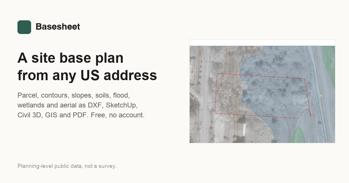
Basesheet builds planning-level site base plans from a US address or parcel number using public data. Output includes parcel lines, LiDAR contours, slope bands, soils, flood zones, wetlands and an aerial, delivered as DXF, SketchUp terrain, LandXML, GIS files and a PDF summary. Each output lists the source and limits of every layer, and the results are not a substitute for a licensed survey.
Tags
gissite-plancadlidarparcelscivil-engineering
Media
Comments (0)
No comments yet
Editorially curated, with community endorsements as a secondary signal. Corrections welcome.