The OlmoEarth Platform: Geospatial inference at planetary scale
- Source
- huggingface.co
- Date

Context
Ai2's OlmoEarth Platform addresses the work surrounding a satellite-image model: acquiring imagery, aligning it geographically, running predictions and assembling the results into maps. Its engineering article explains that downloading and preparing imagery can take longer than model execution. The platform assigns preparation and final map assembly to CPUs, while GPUs run the model.
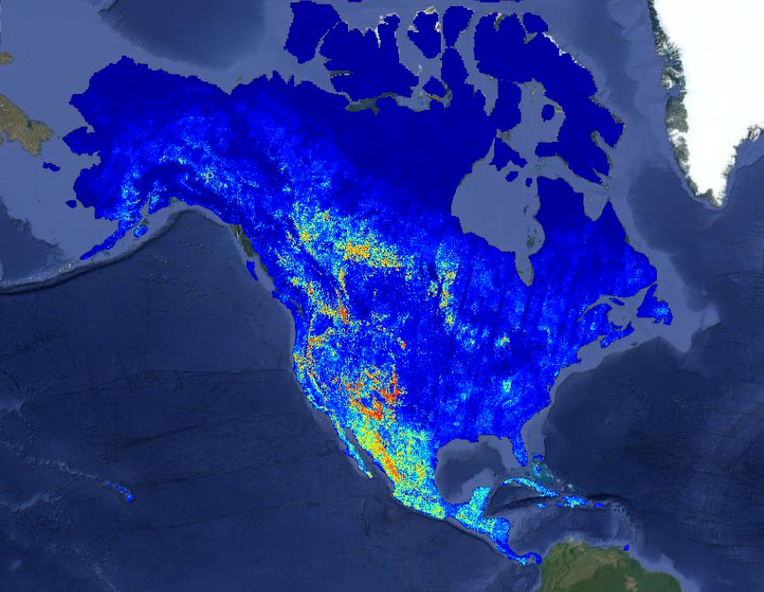
It also divides large regions into independently processed pieces and reconciles their overlapping boundaries. Ai2 reports using this approach to produce a North America wildfire-risk map in about 30.5 hours. The platform is intended to let environmental organizations run large mapping jobs without building this processing infrastructure themselves.
- inference — Running a trained model to get answers — the phase where AI is actually used, as opposed to trained.
Checking sign-in…
Loading comments…