Google's WeatherNext 3 forecasts hourly from raw satellite observations
- Source
- x.com
- Date

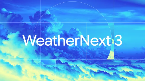
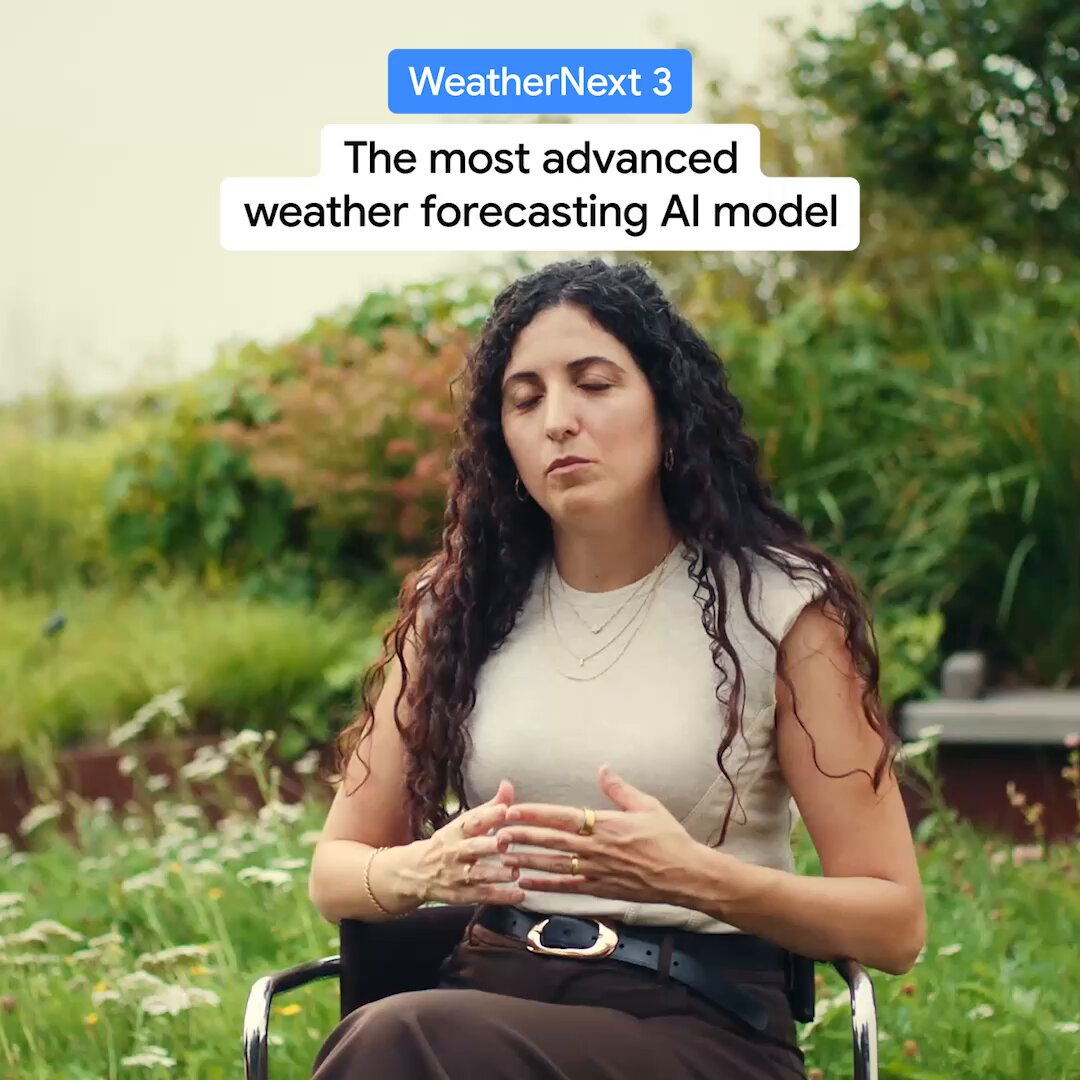
Introducing WeatherNext 3️⃣— our most advanced global weather AI model yet from @GoogleDeepmind and @GoogleResearch With prediction capabilities that are up to 5x sharper than WeatherNext 2, the model generates a forecast with high spatial resolution in order to catch fast-evolving rainstorms, map local temperature shifts, and even help wind farms predict their power output. So, how does it do that? While traditional weather models rely on massive, physics-based supercomputer simulations that can carry a 6-hour forecast lag, WeatherNext 3 leverages live geostationary satellite observations as inputs and trains directly on real-world surface and atmospheric observations. By pulling this raw satellite data, it’s able to update the global forecast every single hour. And because weather develops at lightning speed, these quick, detailed insights can help bring more localized forecasting to billions of people and local businesses, especially in regions that are historically underserved due to the high costs of traditional weather forecasting models.

WeatherNext 3 will begin enhancing weather experiences within Google Search, @GeminiApp, @googlemaps, @GMapsPlatform Weather API and @googleearth Engine starting today Dive into the tech: https://t.co/iFVB9P1BFU
Context
WeatherNext 3 brings more recent observations into local weather forecasts. Google DeepMind describes hourly updates using live geostationary satellite data, with some surface variables, including temperature and moisture, represented at 5-kilometer resolution. The September 3 technical announcement contrasts this with WeatherNext 2's 25-kilometer grid and six-hour forecast increments.
A finer grid can represent variations around coasts, valleys and mountains in greater detail, while hourly updates incorporate changing conditions sooner. Google describes the model as up to five times sharper than WeatherNext 2. The post does not define sharper, though the 5-kilometer and 25-kilometer grid spacing differ by that factor, and the resolution applies only to some outputs: other surface variables are at 10 kilometers and atmospheric variables such as wind speed at 25 kilometers. It is not evidence that every forecast is five times more accurate.
- postGoogle's week: EmbeddingGemma 2, Nano Banana 2.1, Gemini business agent
 postGoogle opens SynthID watermark checks to everyone, with partner coverage
 postGemma 4 orchestrates a plant DNA model to find crop mutations in minutes
 articleGoogle's Project CC gives a family agent its own identity and sandbox

Checking sign-in…
Loading comments…