Potential.NYC
potential.nyc- Category
- Other
- Rank
- No. 31Apps board
- Pricing
- Free
- Type
- APP
- Builder
- @floor_per_area
- Date
About
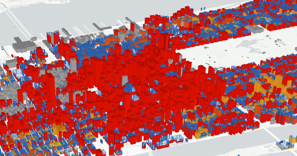
An interactive map that visualizes New York City's zoning potential, showing what can legally be built under current zoning laws and how Floor-Area-Ratio (FAR) regulations shape the city's development. Helps users understand the complex zoning landscape that determines NYC's built environment.
What it can do
Visualize zoning potential for NYC properties
Property address or location on map → Interactive visualization of what can legally be built
Display Floor-Area-Ratio regulations
Specific lot or area selection → FAR limits and development capacity data
Show current zoning classifications
Geographic location in NYC → Zoning district designations and rules
Compare existing buildings to maximum allowed development
Property or neighborhood selection → Gap analysis between current and potential built environment
Navigate NYC zoning regulations geographically
Interactive map interactions and searches → Location-specific zoning information and constraints
Why it made the leaderboard
An interactive map of what NYC zoning actually allows: each lot's zoning classification, FAR limits, and how much more could legally be built than stands there today. For planners, real estate professionals, and anyone curious why their block looks the way it does.
Tags
Media
Comments (0)
No comments yet
Editorially curated, with community endorsements as a secondary signal. Corrections welcome.