Low Poly Earth
lowpolyearth.pages.dev- Category
- Entertainment
- Rank
- No. 209Apps board
- Pricing
- Free
- Type
- APP
- Date
About
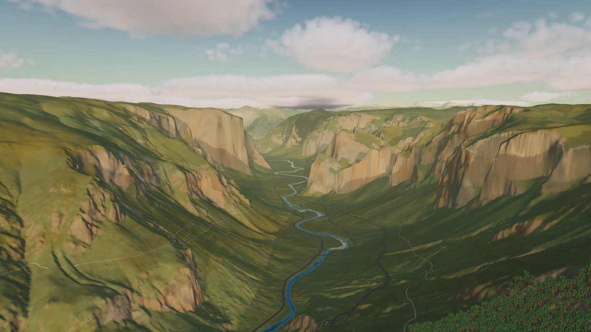
Low Poly Earth is a native Mac app for Apple silicon that renders the entire planet in 3D using OpenStreetMap building and road data combined with global elevation data, including 231 individually modeled landmarks and simulated day/night cycles, weather, and seasonal snow. Users can pan and zoom from orbit down to street level, fly using one of three vehicles, search for any place by name, and save 4K photographs of what they find.
Why it made the leaderboard
A free, native Mac app lets you fly across a low-poly rendering of the entire real Earth built from open map and elevation data, with dynamic weather, lighting, and hundreds of modeled landmarks.
Tags
3d-earthopenstreetmapmac-appexplorationelevation-data
Media
Comments (0)
No comments yet
Editorially curated, with community endorsements as a secondary signal. Corrections welcome.