Warsaw in voxels
p.migdal.pl- Category
- Other
- Rank
- No. 52Apps board
- Pricing
- Open Source
- Type
- APP
- Date
About
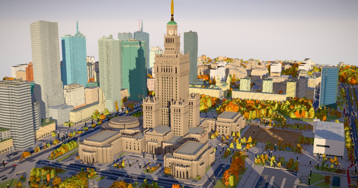
An interactive 3D map of central Warsaw rendered in 1 m voxels, built from OpenStreetMap, LiDAR height and aerial imagery data, and the city's tree database. Users can change the date, time of day and weather, walk around landmarks such as the Palace of Culture, or take control of a pedestrian. The project is open source, so others can reuse the code and data pipeline.
Tags
voxels3d-mapwarsawopenstreetmaplidarinteractive
Media
Comments (0)
No comments yet
Editorially curated, with community endorsements as a secondary signal. Corrections welcome.