Wikipedia Company Map
www.tylercosgrove.com- Category
- Education
- Rank
- No. 126Apps board
Previous survey · No. 116 ·
- Pricing
- Free
- Type
- APP
- Interfaces
- Web
- Date
About
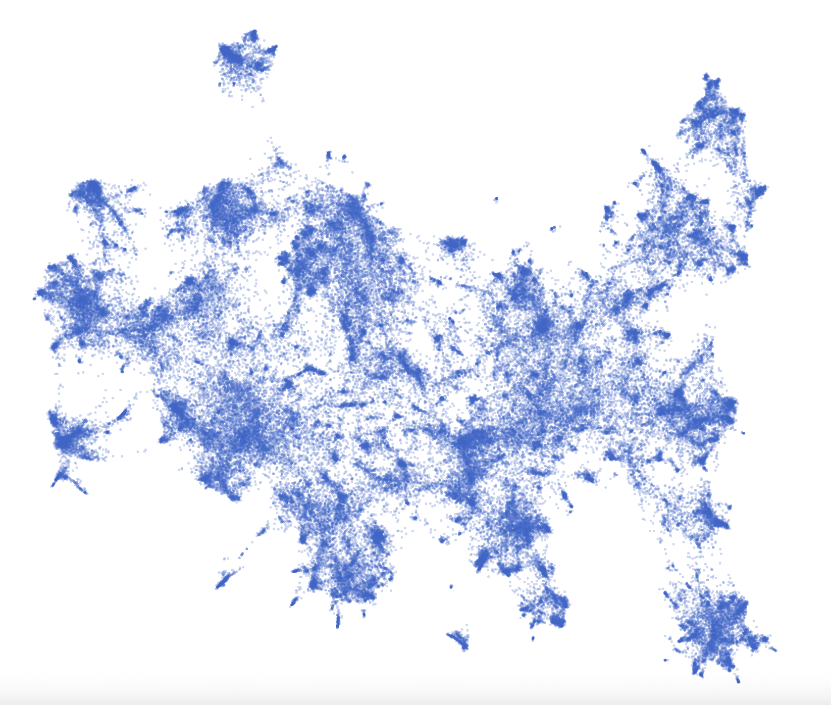
An independently hosted scatter plot of Wikipedia-linked companies, with name search, pan/zoom and point labels. The inspected search highlights name substrings; it is not a geographic company directory or semantic business-search tool.
At a glance
Wikipedia Company Map is an independently hosted point-cloud view of Wikipedia-linked company pages. It is an interesting visual browse when you have a company name in mind. The inspected implementation uses a scatter plot and name matching, so treat it as an exploratory interface rather than a geographic directory or a verified map of business relationships.
Good fit
Curious readers who enjoy finding a company inside a large visual field and following its Wikipedia page. Search highlights matching names while leaving the wider plot visible. This can be more engaging than a list, but the dense overview becomes useful only once you search, zoom or inspect a point.
Consider something else when
You need addresses, a current supplier/ownership graph or semantic company search. The code matches a typed substring against company names; a job description is not a request for relevant businesses. The inspected interface did not explain how plot distances were produced, so proximity should not be interpreted as a validated corporate relationship.
Start here
Type a company name, inspect the highlighted points and use zoom or a point’s label to narrow your view. Our OpenAI query produced two name matches, and clicking one exposed its label. Clearing the search restored the displayed company count. The code documents Wikipedia navigation from points; no full article or every matching company was verified.
Cost and requirements
Search and the plot opened without an account or payment. The page advertises about 115,000 companies and embeds a substantial dataset. The inspected search code filters names in the browser; that is a narrow implementation observation, not a whole-site privacy assessment. Mobile performance, accessibility and reuse rights were not established.
Limits to know
The original HTML exceeded the source collector’s 2 MB cap. A bounded range fetch exposed the plotting/search code, while the browser established the actual interface. This did not validate the full company corpus, its date or the upstream layout method. The map adds visual exploration, with original company facts still requiring a source check.
Related work
Still unclear
- What dataset date and layout method produced the coordinates, and what relationship, if any, is distance intended to represent?
Sources checked 2026-10-30. Source-based assessment.
What it can do
Highlight matching names in the plot
Company-name substring → Name matches; OpenAI query showed two
Inspect plotted companies and labels
Pan/zoom or selected point → Visual exploration, not geographic location lookup
Offer Wikipedia navigation as implemented
Company point → Original company article, not independently verified by the map
Why it made the leaderboard
Provides a visual way to browse company pages. Search and point inspection worked, but layout provenance and data dates were not established, so proximity should not be treated as a verified business relationship.
Tags
Media
Comments (0)
No comments yet
Editorially curated, with community endorsements as a secondary signal. Corrections welcome.